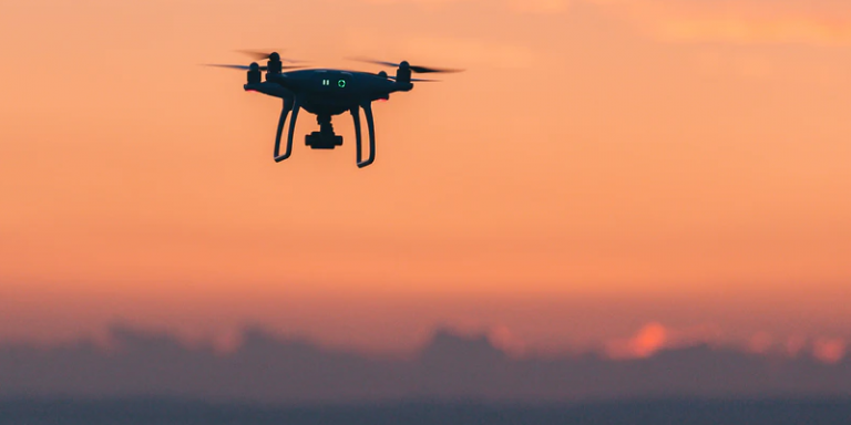
The European drone group, Parrot, announced on April 13 the signing of a partnership with High Lander. This company has developed Mission Control, a platform that provides fleets of drones with intelligent airspace control and coordinated aerial continuity during autonomous flight. This software will be used by Parrot ANAFI USA and ANAFI drones to ensure that missions are carried out efficiently through improved functionality and automation of their systems.
Software with an intuitive dashboard for rescue teams
The Mission Control software, available on Android and iOS systems, has an intuitive dashboard that allows for the efficient deployment of drones and the completion of many tasks. With the systems’ real-time reporting and telemetry, first responders can autonomously manage their drone fleets while performing takeoffs and landings, route planning and other critical tasks. Live link generation provides on-scene team members with an instant video feed. Drones in rescue missions can intervene more quickly in crucial moments.
Jerôme Bouvard, Director of Strategic Partnerships at Parrot said of the use of this software in rescue operations:
“Automation and drone intelligence are at the heart of our product and software developments. This new partnership with High Lander is another step towards improving the automation and control capabilities of our drones. […] Parrot continually strives to provide our business users with expanded capabilities – allowing them to quickly adapt their drone operations to their evolving and urgent needs.”
A true toolbox
Several enhanced control modes allow rescuers to adapt to mission types or the situation. For example, the “Path” mode defines an automated plan including multiple points of interest, telemetry, gimbal and loading parameters. There is also a “Modeling & Mapping” mode that allows operators to monitor an area in detail and efficiently create 2D maps and 3D models using the precise GPS coordinates of Parrot ANAFI.
Mission Control also features a Payload sidebar for operators. It allows instantaneous switching to thermal imaging, which is a great asset for police pursuits, solar panel inspections or emergency search and rescue operations. All this is possible thanks to the FLIR boston thermal sensor directly integrated into the Parrot ANAFI USA drone, combined with the 32x zoom that identifies thermal anomalies and centimetric hot spots up to 40 meters away.
A platform used by police and fire departments
Ido Yhalomi, CTO of High Lander wanted to clarify the full utility of its software when integrated with Parrot’s drones:
“As a leading player in the field, we are proud of this partnership with Parrot to combine our Mission Control platform with ANAFI USA and ANAFI drones, and offer broader hardware options to our customers. […] As a non-hardware system, Mission Control is compatible with solutions from leading drone manufacturers, now including Parrot, to give our customers the freedom to customize their drone fleets with best-in-class drones.”
Many institutions, including police departments, sheriff’s offices, fire stations and forestry departments, are already working with High Lander. Currently, 12 of their customers will be able to take advantage of this partnership and therefore use Parrot’s ANAFI USA and ANAFI drones coupled with High Lander’s Mission Control software in their fleets.
Translated from Parrot signe un partenariat avec High Lander afin d’automatiser et d’améliorer l’efficacité de leurs drones


